we are
CONCREMAT
ENVIRONMENTAL

A pioneer in integrating the environment into engineering since the end of the 1970’s, Concremat Ambiental conducted environmental studies for Vale’s Carajás Project.
In the 1980’s the company developed for Petrobras one of the first large scale EIA-RIMA in Brazil: the Urucu-Tefé pipeline in the Amazon.
Today Concremat Ambiental provides a wide range of services in many different markets.
Environmental Engineering
Environmental expertise combined with traditional excellence in engineering services gives Concremat Ambiental unique characteristics. The continuous dialogue and capillarity between the environmental, design, management and supervision areas in the various engineering segments gives Concremat Ambiental’s services a modern, efficient and integrated vision of each project.
Social and Environmental Commitment
At the forefront of the environmental solutions portfolio Concremat Ambiental unites planning, quality control and compliance with deadlines to support decision making, investments and execution of engineering studies and projects.
For this purpose, we rely on a multidisciplinary team of specialists that qualify our products with a high degree of social and environmental commitment.
Why choose
CONCREMAT
AMBIENTAL
Technical Advantages
Wide and solid experience in the development of environmental services;
Knowledge of the regions and processes of the intervening agencies;
Consolidated regional network for partners and suppliers throughout the country;
Offices and bases established in the main capitals of the country;
Prompt mobilization;
Technical team acting in contracts in the area, ensuring support and support.
Products and services for all stages of environmental licensing
Preliminary Environmental Diagnostics
Environmental Studies for Location Alternatives
Strategic and Comprehensive Environmental Assessment (SEA/IAA)
Environmental Component of the Conceptual Project
Environmental Studies for obtaining the LP
Viability studies - EVTEA
Assistance to the Licensing process
Organization of Public Hearings
Preparation and Implementation of a Social Communication Program
Advisory for Sustainability Certifications
Environmental Component of the Basic Project
Environmental Studies to obtain the IL
Environmental Management and Supervision
Implementation of Social and Environmental Programs
Sustainable Solutions for Executive Design
Environmental Studies for obtaining the LP
Advisory services for the maintenance of the LO
Environmental Monitoring for continuous improvement
Implementation of the Environmental Management System
Implementation of Social and Environmental Programs
Environmental Investigation and sanitation of Contaminated Areas
Inventory and Monitoring of Greenhouse Gas Emissions
Decommissioning and recomposition studies of degraded areas
Environmental Remediation Project
SIMAE
Monitoring System
and Strategic Assessment
The Strategic Monitoring and Evaluation System (SIMAE) includes a set of technical solutions that allows the integration of public data with georeferenced environmental data collected in the field for all phases of the enterprises. With it, it is possible to perform the control and monitoring of actions and the storage of images and information, in addition to obtaining a broad and accurate view of the enterprise, as well as real-time spatial analysis, which assists in decision making and minimizes rework costs.

Endangered Species Database
Among the intelligence tools Concremat uses in the pre-analysis of the environmental sensitivities of the lots, regarding fauna, is the assessment of the confirmed occurrence of fauna species threatened with extinction in the surrounding area. This analysis is based on the resolutions of federal regulations (Ministry of the Environment No. 444 and 445 of 2014) and maps out in a pre-defined buffer the known occurrences of species that fit the official threat categories. This survey is validated by cross-referencing georeferenced information from a database composed of published scientific studies (articles, theses, and dissertations).
This type of knowledge, in a previous stage, offers advantages in the sense of guiding more clearly the typology of the study to be conducted in view of the legislation in force, as well as the effort and techniques applied – minimizing the need for additions and reassessments demanded by environmental agencies, thus reducing the risks associated with studies on the subject.
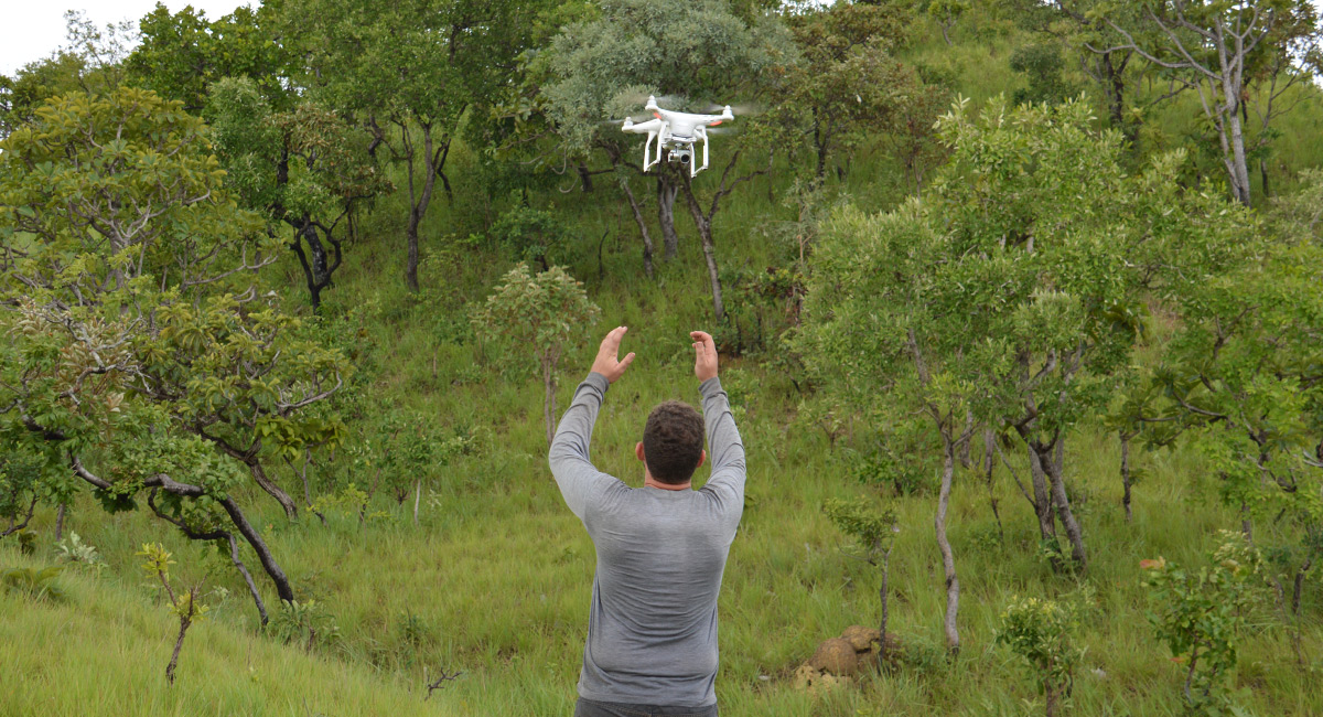
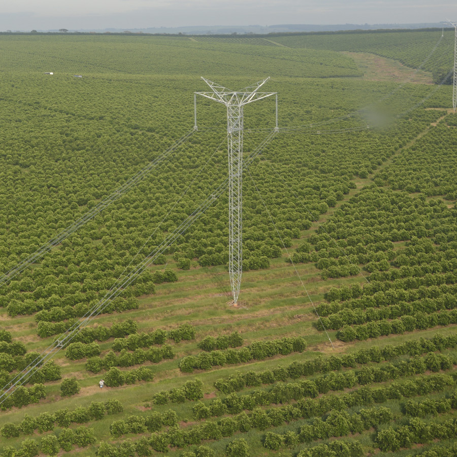
Drone overflights,
WebGIS & WebMAP
A tool for generating orthophotos and processing images that allows users to interactively consult georeferenced and tabular spatial information, accessed directly through a browser link.


SIA
Environmental Interference System
SIA is a tool for the strategic evaluation of Energy Transmission Lots presented in ANEEL’s auctions from the identification and analysis of the main environmental interferences in the proposed routes. EIS presents and lists the environmental interferences identified for each selected project with three levels of analysis.


